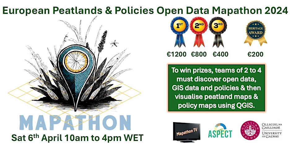
The 'Tourbeux' team on their way to Galway for the Mapathon on Peatlands and Policies

24 hours to map Europe’s peatlands and link them to public policy using open data – that’s the challenge set by Ireland’s NUI Galway University. France takes up the challenge!
France will be taking part in the challenge by sending “Les Tourbeux” team, made up of two students with very complementary profiles:
- Hugo LACHATER in his 5th year of agronomy engineering at ESA in Angers, who has just started a internship on peatlands at AC3A.
- Théo BIZART-DUCH is doing a Masters in Geography and Regional Planning at the University of Franche-Comté and is currently doing a work placement at the Franche-Comté Regional Biodiversity Agency.
Thanks to financial support from the Interreg NWE BUFFER+ project, Hugo and Théo will be travelling to Galway (Ireland) on Saturday 6 April to take up the challenge. They will be combining their skills in GIS, environment, agronomy and geography to map and analyse the many policies and governance dynamics that govern French peatlands.
The results of their work will feed into the activities of work package 3 of the BUFFER+ project, which focuses on improving governance models in peatland areas.
The team has packed its bags with shapefiles and strategic documents and can’t wait to get the mapathon underway!
A big thank you also to all the AC3A partners who helped put together this great French team and supported its preparation: the Pôle Relais Tourbières, the Conservatoires des Espaces Naturels, the Chambers of Agriculture of Brittany and Pays de la Loire, the University of Franche-Comté, the Forum des Marais Atlantiques, the ESA and the Agence Régionale de Biodiversité de Franche-Comté.
Follow our “Tourbeux” team on webtv this Saturday 6 April by registering here: https://www.eventbrite.ie/e/european-peatlands-policies-open-data-mapathon-2024-tickets-852770207647
- Actualités en lien
